Mapping has come a long way from paper charts and static maps. Today, geographic information systems (GIS) and advanced mapping platforms are transforming the way businesses, researchers, and governments analyze the world. Among these solutions, JR Geo stands out as a powerful, intuitive tool for smart mapping and modern geographic analysis. Whether you’re exploring urban development, monitoring environmental changes, or optimizing logistics, JR Geo offers the technology you need to make informed decisions.
What is JR Geo?
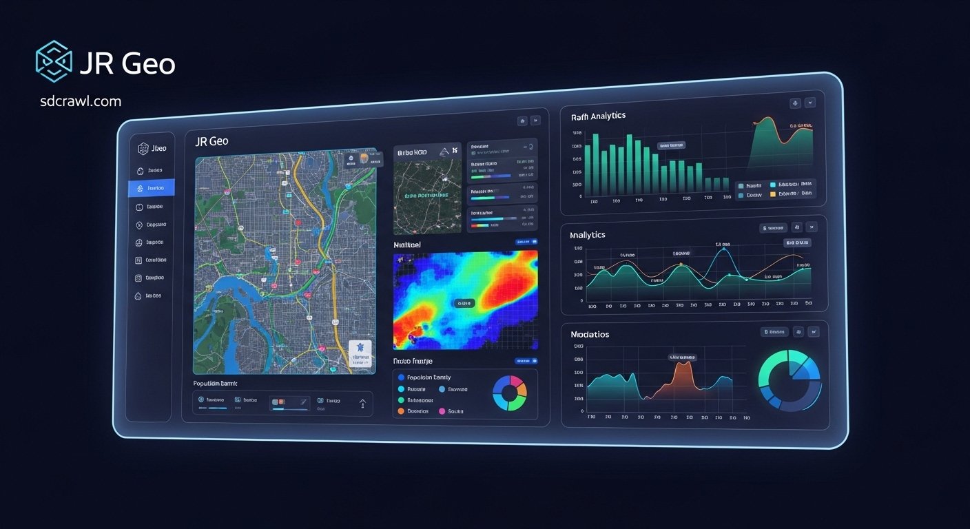
JR Geo is a next-generation mapping and geographic data analysis platform. It combines advanced mapping technology with a user-friendly interface to provide real-time insights into complex geographic datasets. The platform is designed to help users visualize, interpret, and act on spatial data without needing extensive technical expertise.
With JR Geo, you can:
-
Analyze geographic patterns across regions.
-
Track changes in environmental or urban landscapes.
-
Plan logistics and optimize routes efficiently.
-
Visualize data in interactive maps and dashboards.
The platform’s versatility makes it suitable for industries ranging from urban planning and logistics to environmental monitoring and real estate.
Key Features of JR Geo
JR Geo isn’t just another mapping tool; it’s a comprehensive solution packed with features that simplify geographic analysis. Here’s what sets it apart:
1. Advanced Mapping Technology
JR Geo uses cutting-edge GIS technology to provide detailed maps with multiple layers. Users can overlay datasets, such as population density, land usage, or climate patterns, to gain deeper insights.
2. Intuitive Data Visualization
Data is more than numbers. JR Geo transforms raw geographic data into interactive, visually appealing maps that are easy to understand. With features like heat maps, choropleth maps, and 3D modeling, users can spot trends and anomalies quickly.
3. Real-Time Analytics
One of JR Geo’s strongest capabilities is its real-time analytics. Users can track live data, such as traffic flows, weather conditions, or supply chain movements, ensuring timely and informed decisions.
4. Customizable Dashboards
JR Geo allows users to create dashboards tailored to their specific needs. Whether you want a quick overview of urban growth or a detailed breakdown of geographic statistics, the platform adapts to your workflow.
5. Seamless Integration
JR Geo supports integration with multiple data sources and third-party applications, including business intelligence tools and environmental monitoring systems. This ensures your geographic analysis is always connected and actionable.
How JR Geo Enhances Modern Analysis
Modern decision-making relies on accurate, real-time data. JR Geo enhances analysis in ways traditional mapping systems cannot.
Urban Planning and Infrastructure
Cities grow rapidly, and urban planners need to make data-driven decisions. JR Geo provides insights into population distribution, traffic congestion, and land development trends. Planners can visualize the impact of new infrastructure projects and ensure sustainable growth.
Environmental Monitoring
Environmental scientists use JR Geo to track climate patterns, monitor deforestation, and study water resources. With the ability to overlay satellite imagery, sensor data, and geographic statistics, it becomes easier to detect changes and plan interventions.
Logistics and Supply Chain Optimization
Businesses can optimize routes, track deliveries, and minimize operational costs using JR Geo. By analyzing geographic data such as traffic conditions, terrain, and fuel efficiency, companies can streamline supply chains efficiently.
Real Estate and Market Analysis
For real estate professionals, location is everything. JR Geo helps analyze property trends, assess neighborhood growth, and identify investment opportunities based on geographic patterns.
Benefits of Using JR Geo
Adopting JR Geo offers several tangible benefits:
-
Improved Decision-Making: Access to real-time, accurate geographic data empowers users to make informed choices.
-
Enhanced Productivity: Automated data analysis saves time compared to manual mapping methods.
-
Cost Efficiency: Optimized routes, resource allocation, and strategic planning reduce operational expenses.
-
User-Friendly Interface: No extensive GIS training is needed to harness its full potential.
-
Scalability: Suitable for small businesses, government agencies, and large enterprises alike.
Tips for Maximizing JR Geo’s Potential
To get the most out of JR Geo, consider these best practices:
-
Regularly Update Data: Geographic patterns change constantly. Keeping your data current ensures accurate analysis.
-
Utilize Layering: Combine multiple datasets for comprehensive insights. For example, overlay population data with environmental risk zones to guide urban planning.
-
Customize Visuals: Tailor map displays and dashboards to your project’s needs. Clear visuals lead to quicker interpretations.
-
Collaborate Across Teams: Share maps and dashboards with team members for collaborative analysis and better outcomes.
-
Explore Integrations: Connect JR Geo with other business or environmental tools for seamless workflows.
JR Geo in Action: Real-World Examples
Case Study 1: City Traffic Optimization
A metropolitan city used JR Geo to monitor traffic patterns and optimize signal timings. By analyzing congestion hotspots in real time, authorities reduced average commute times by 18% within six months.
Case Study 2: Environmental Conservation
An environmental NGO tracked deforestation using JR Geo’s satellite imagery and GIS tools. They were able to identify illegal logging areas quickly, resulting in more effective conservation strategies.
Case Study 3: Retail Expansion Strategy
A retail chain used JR Geo to analyze population density, competitor locations, and consumer behavior. The data-driven insights helped select profitable store locations, boosting sales by 25%.
Common FAQs About JR Geo
What types of data can JR Geo analyze?
JR Geo can handle a wide range of geographic data, including satellite imagery, census statistics, climate data, traffic flows, and business analytics.
Is JR Geo suitable for beginners?
Absolutely. JR Geo’s intuitive interface and customizable dashboards make it accessible even to users without extensive GIS knowledge.
Can JR Geo integrate with other software?
Yes. JR Geo supports integration with business intelligence platforms, environmental monitoring tools, and various data sources to enhance analysis.
How accurate is JR Geo’s mapping technology?
JR Geo uses advanced GIS and real-time data feeds, ensuring high accuracy for decision-making and strategic planning.
What industries benefit the most from JR Geo?
Industries such as urban planning, logistics, environmental monitoring, real estate, and retail gain significant advantages from JR Geo’s smart mapping solutions.
Why JR Geo is the Future of Geographic Analysis
The world is becoming more data-driven, and geographic insights play a crucial role in strategic decision-making. JR Geo stands at the forefront of this revolution, offering a platform that is powerful, flexible, and easy to use. Its ability to merge complex datasets, provide real-time analytics, and generate actionable insights ensures that businesses and organizations can make smarter, faster, and more informed decisions.
With JR Geo, mapping is no longer just about geography—it’s about understanding the story behind the data, uncovering patterns, and making an impact. From city planners and environmentalists to logistics managers and real estate professionals, JR Geo equips every user with the tools to see the world in a smarter, more connected way.